Last Friday, the Maryland House of Delegates and Senate voted on the Transportation Infrastructure Investment act of 2013. The bill is Maryland's first gas tax increase in 20 years, and will dedicate funds to highway and transit improvements around the state.
I'm headed to Baltimore this weekend for Reinvent Transit, a hackathon taking place at Betamore that will hopefully generate some innovative ideas for transit in and around the city. In the spirit of the event and the recent legislation, I've made two GIS maps to show how the house of delegates and the senate voted on the transportation bill.
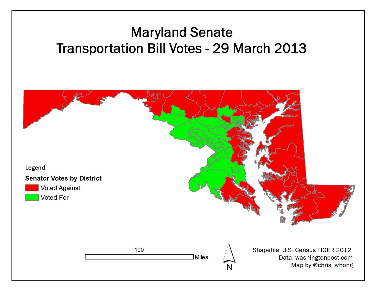
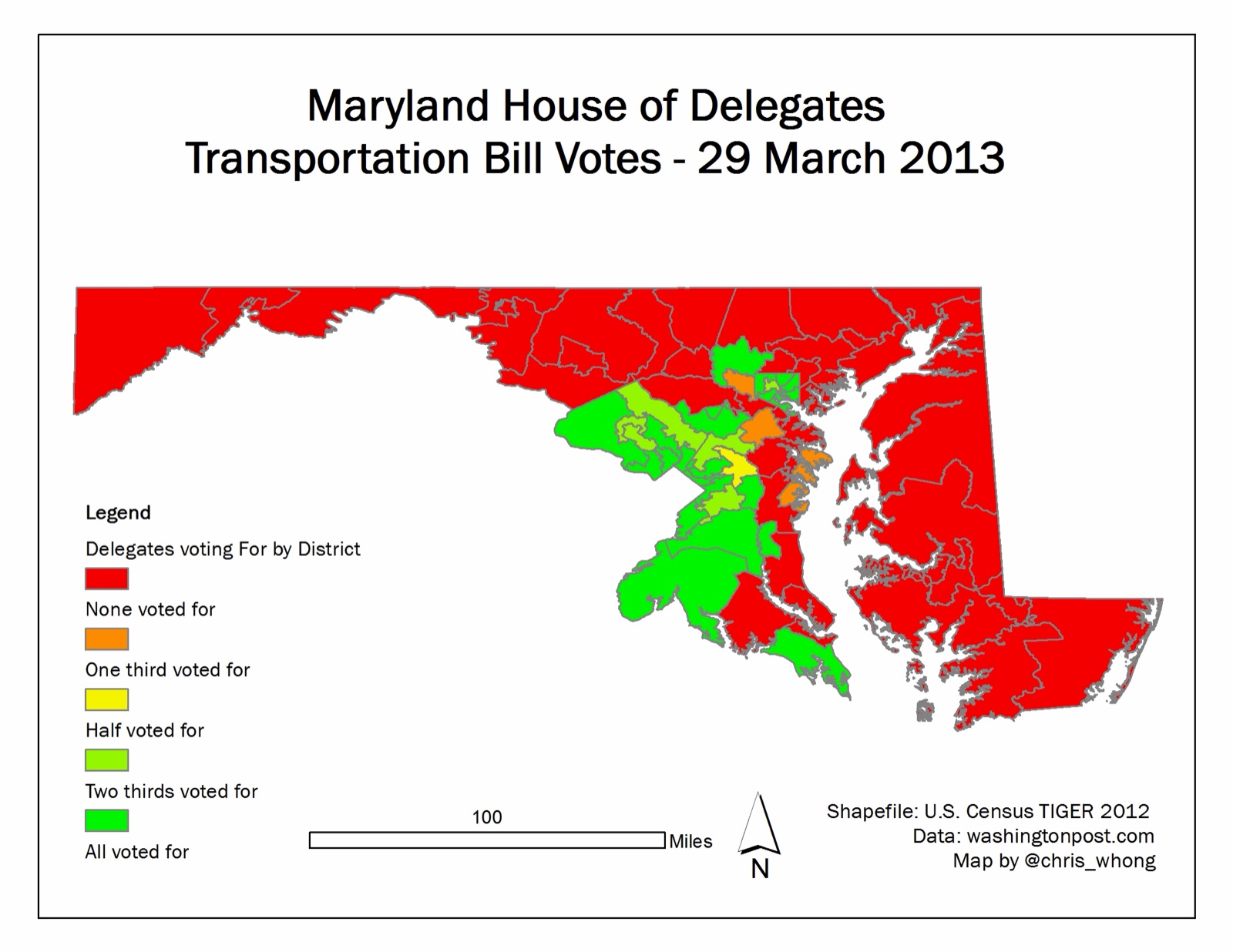
The results are about what we would expect, with the DC Suburbs and Baltimore City overwhelmingly for the bill. The northwestern suburbs of Baltimore also stand out. St. Mary's county is the interesting outlier, at least for the House of Delegates Vote.
These are also available on flickr.