Portfolio
Here are some projects I'm excited to share. Some professional, some hobby or fun, all scratched an itch of some sort with technology, maps, data, or cities.
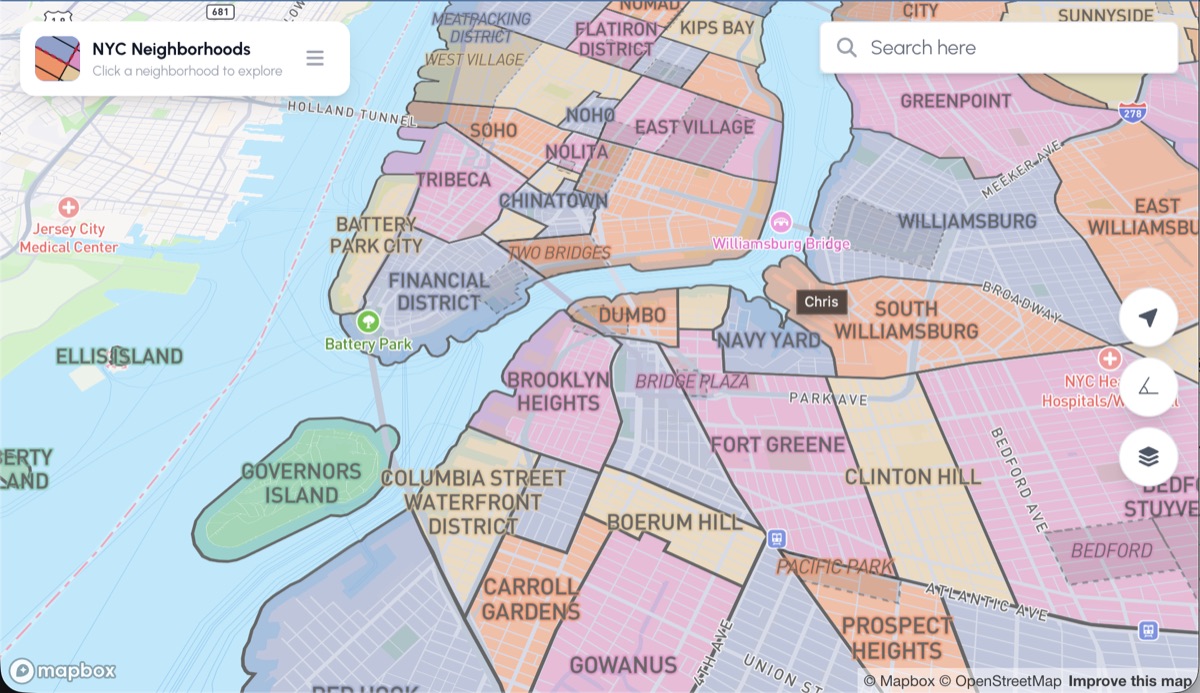
NYC Neighborhoods
A mobile mapping app with full coverage of all five NYC boroughs, organized into two tiers — neighborhoods and sub-neighborhoods — so you can explore enclaves and districts in context. Each area includes a summary blurb and most link to Wikipedia.
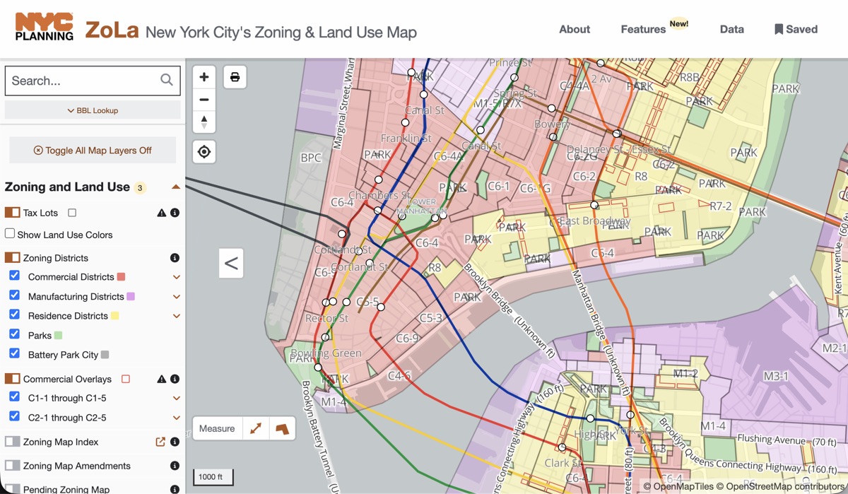
ZoLa — NYC Zoning & Land Use
The NYC Department of City Planning's Zoning and Land use Application. A web application that makes it easy to research zoning regulations, land use, and property information across all five boroughs.
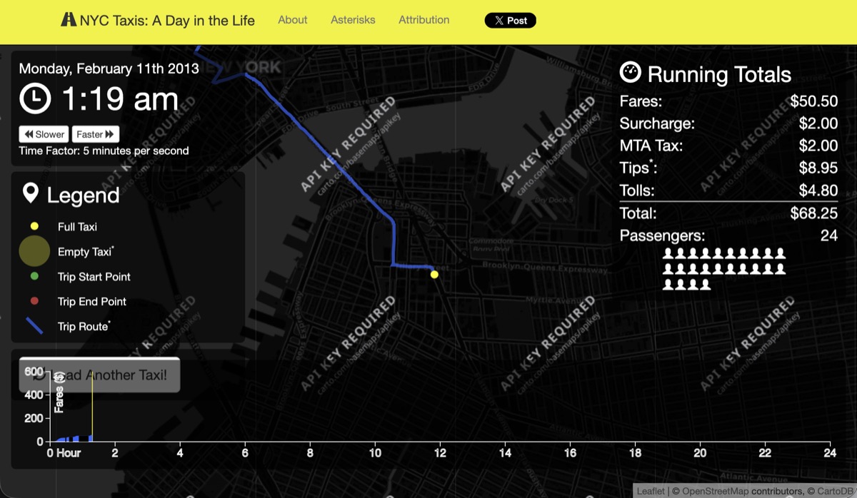
NYC Taxis - A Day in the Life
Winner of the Kantar Information is Beautiful Award for Best Motion Infographic (2014). Visualizes taxi trip data from 2013, showing the activities of a single taxi on a single day across ~170 million trips.
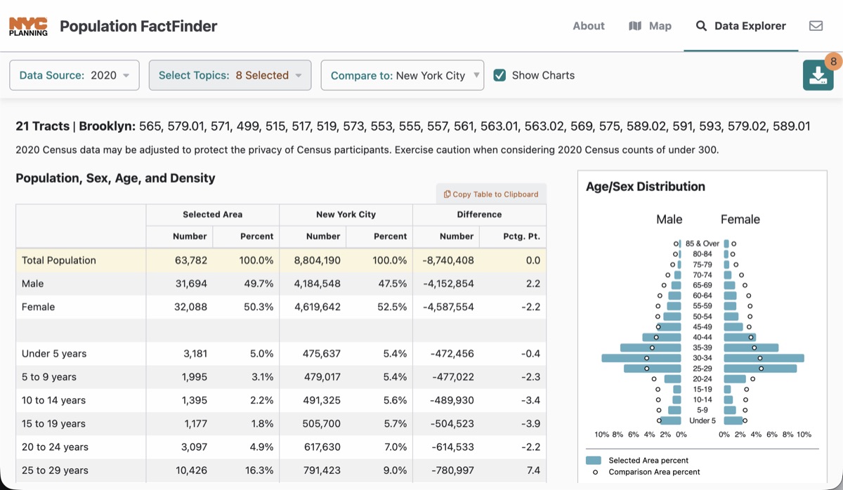
NYC Population FactFinder
Puts a wealth of American Community Survey and Census data in the hands of any New Yorker, providing deep demographic analysis for any combination of census geometries in the city.
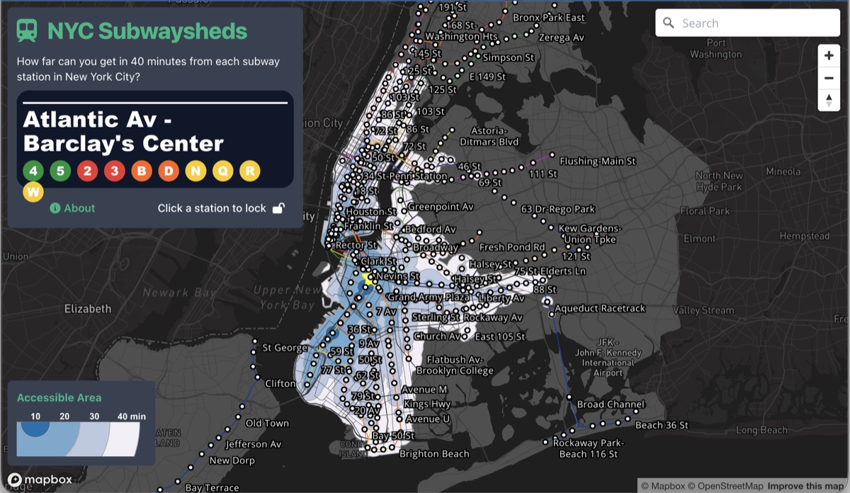
Subway Sheds
A simple, interactive visualization of time-based accessibility around every subway station in the city — an homage to Chronotrains.
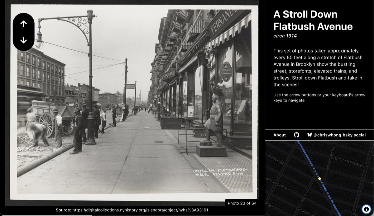
A Stroll Down Flatbush
A "street view"-style arrangement of historic photos taken during the 1914 construction of the subway beneath Flatbush Avenue, letting you walk the block as it looked over a century ago.
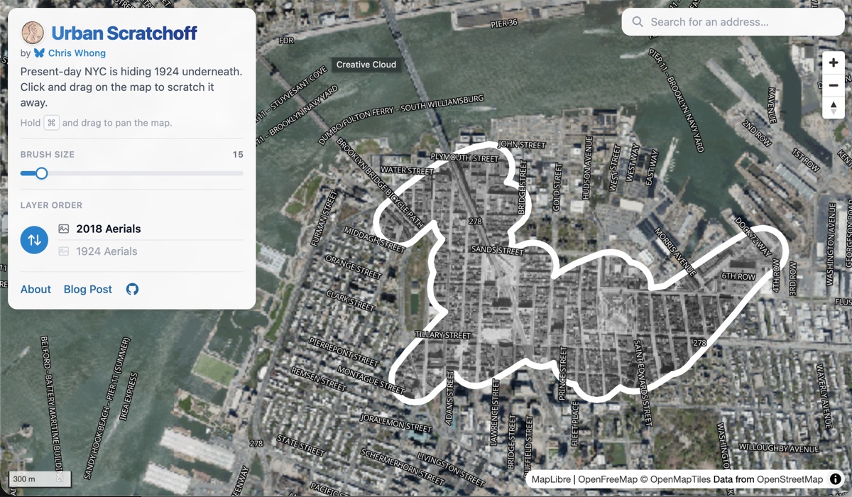
Urban Scratchoff
An interactive map that lets you scratch off a layer of modern satellite imagery to reveal historic imagery underneath, making it easy to see how the urban environment has changed over time.
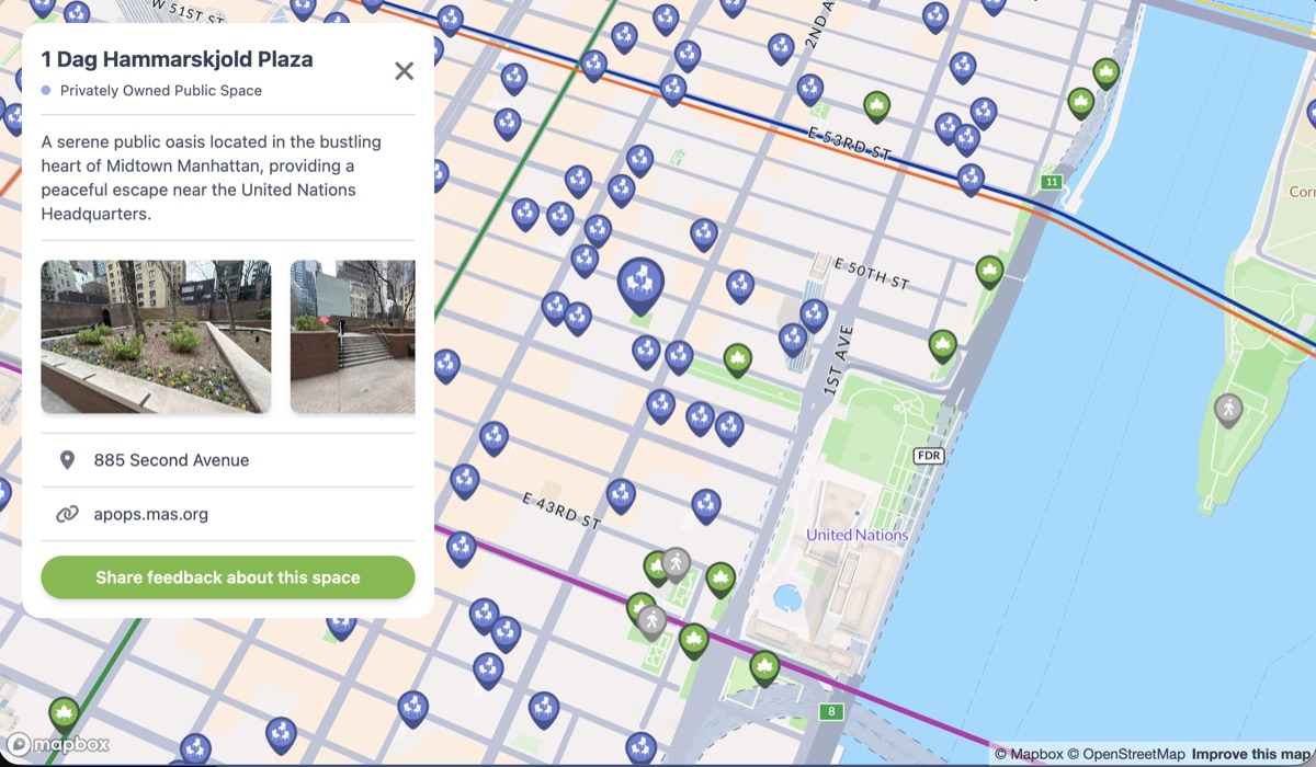
NYC Public Space
A mobile mapping app that consolidates the many types of public space regulated by different city agencies onto one map, helping New Yorkers discover nearby outdoor spaces for relaxation and recreation.
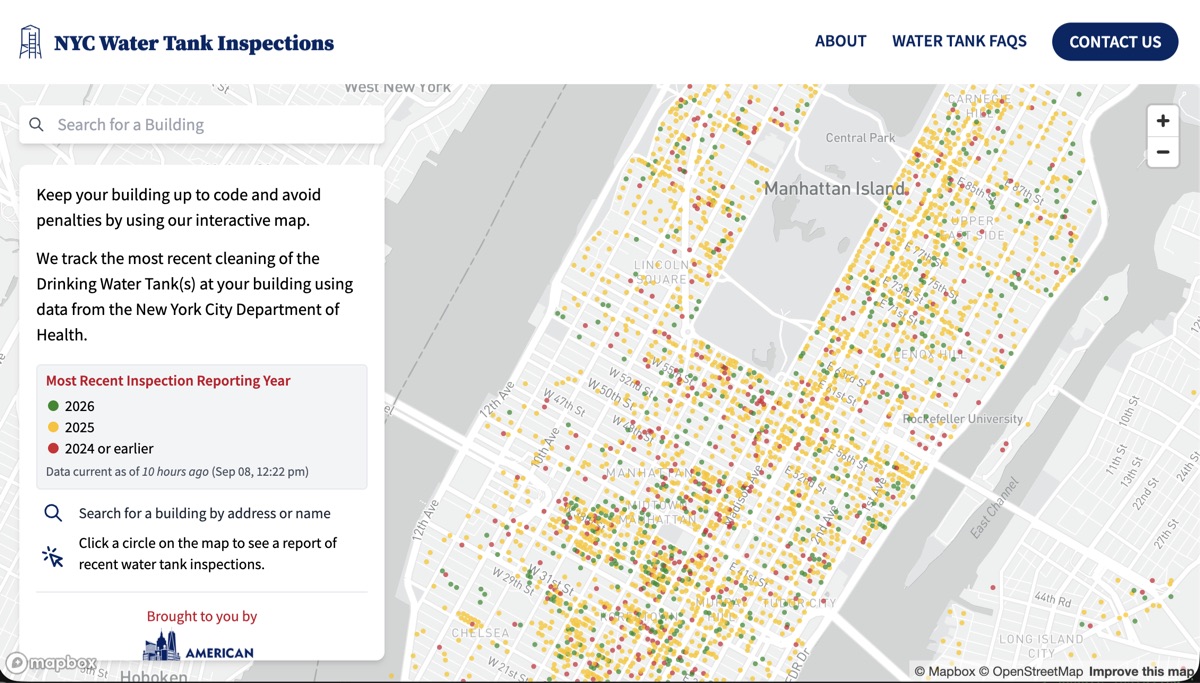
NYC Water Tank Inspections
Built for American Pipe & Tank, this tool uses NYC Open Data to visualize the inspection status of the city's rooftop water towers — serving as both a public resource and a marketing and lead-generation tool for the client.
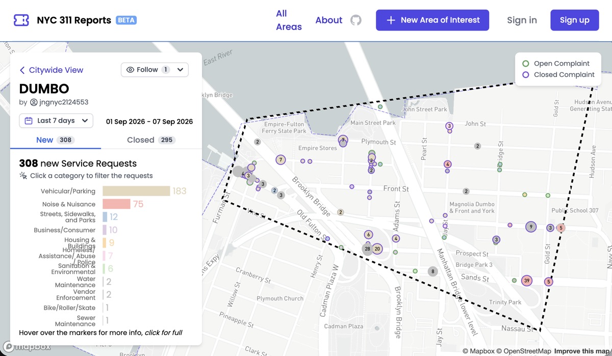
nyc311.app
A simple frontend for the sprawling NYC 311 open dataset. It talks directly to the Socrata Open Data API, letting users draw a custom area of interest and get an instant report and map of recent activity.
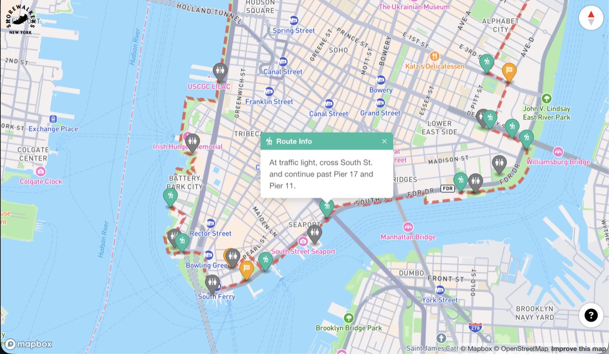
Shorewalkers Map
The official map for the Great Saunter, a 32-mile urban trek around the waterfront of Manhattan held every May. It shows key navigation markers, restrooms, and route details, guiding thousands of saunterers around the city each year.
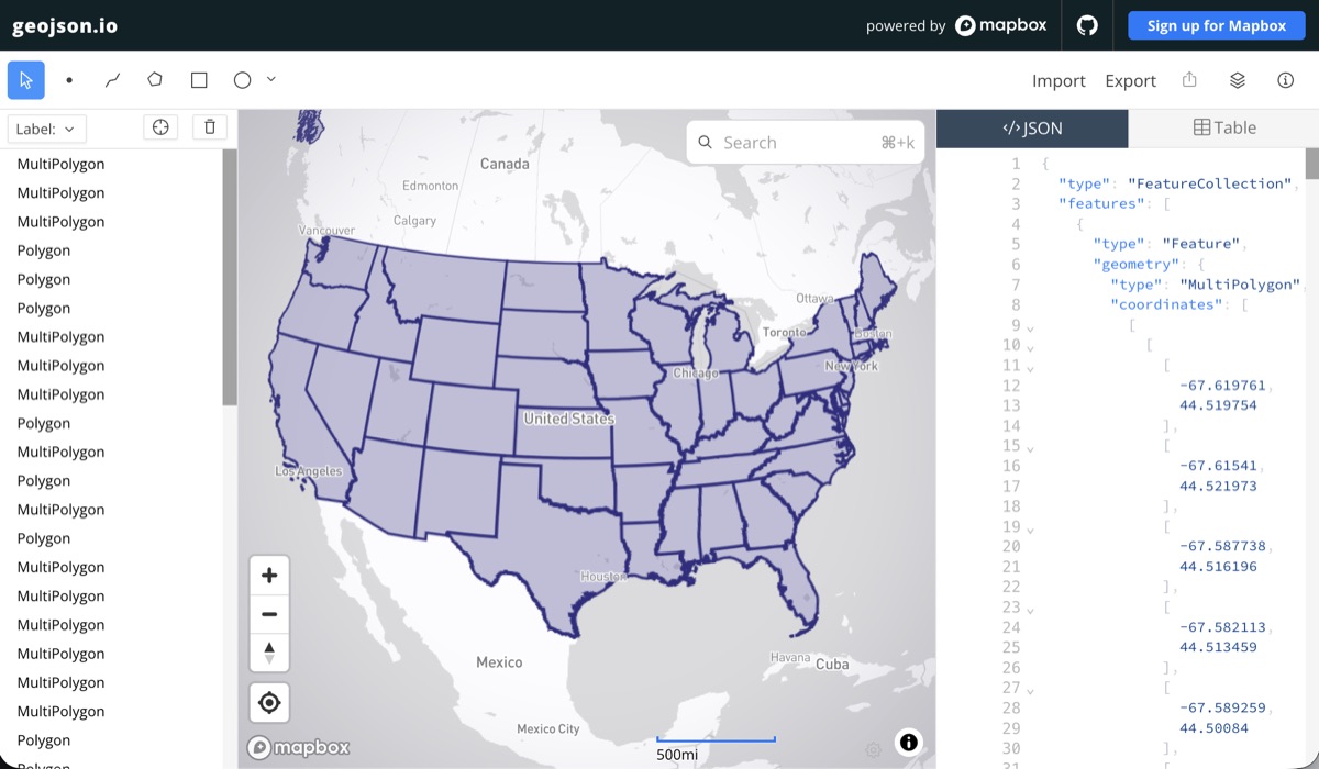
geojson.io
An open source spatial data editor for quickly creating, managing, and transforming GeoJSON for mapping projects. I led its 2022 modernization and its 2026 overhaul during my time at Mapbox.
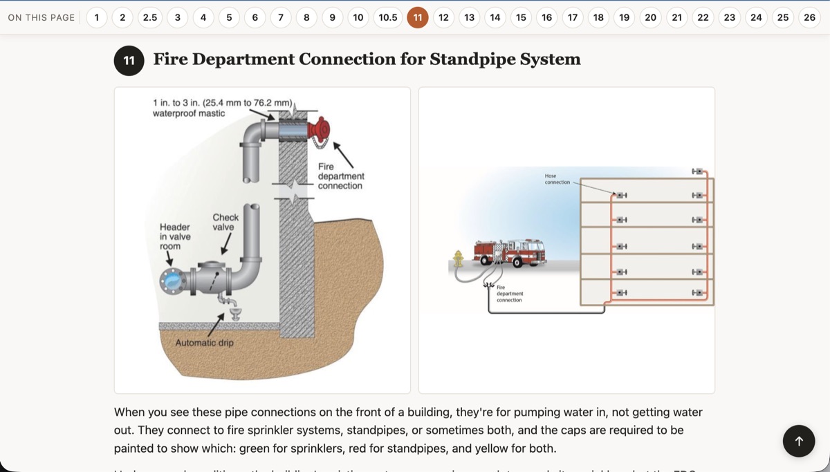
Vanderbilt Ave Street Infrastructure Tour
A guided walking tour held during Brooklyn's post-COVID Open Streets, spotlighting the infrastructure hiding in plain sight along Vanderbilt Avenue — telecommunications, postal keys, fire protection, and water and gas lines.
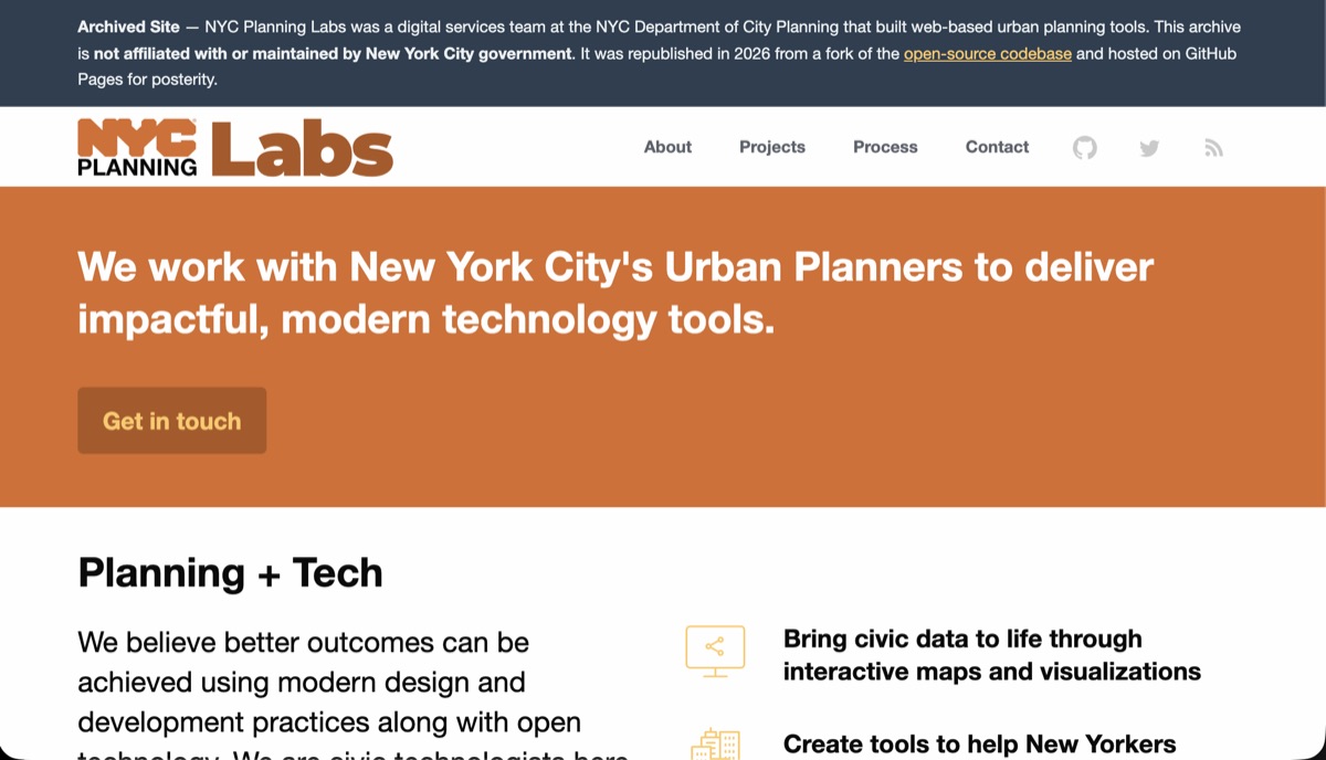
NYC Planning Labs Website (Archived)
The original website for NYC Planning Labs, the digital services team I founded within the NYC Department of City Planning. When we launched, we forked 18F's open source Jekyll site as a symbolic gesture toward code reuse in government — a simple static site doesn't need to reinvent the wheel or take on unnecessary complexity.